
What would you do???
When we think of mapping using GIS for disasters and emergencies, we think of tornadoes, floods, hurricanes, earthquakes and the like. When we think of education, we often think of the same old off-the-shelf material from a book that we just take and share thinking we’re teaching. However in both cases, we miss out on one of the joys of education. Applying knowledge from one discipline or area to other areas of life…
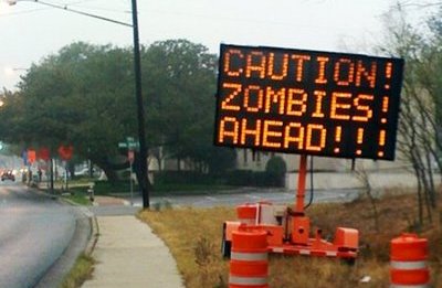
Many of my followers on Twitter (Follow @emgis on Twitter) and this blog know of the CDC’s preparedness campaign from earlier this year on Zombie Preparedness – “Preparedness 101: Zombie Apocalypse“. However most people who are familiar with the preparedness campaign are from the Social Media for Emergency Management (#SMEM hashtag on Twitter) community. Most of them are not GIS people and haven’t seen how Geographic Information Systems (#GIS hashtag on Twitter) can improve our preparedness for Zombies (and for other disasters…) Additionally, the Connected Principals Chat community (#cpchat hashtag on Twitter) could benefit from this post because it provides another way to engage students and parents on a number of levels. You may not use zombies for important information to share, but please take a look at these examples and think of how you can apply this to your discipline and the content that you find important to share with others.
Enter the Zombie Apocalypse…
In a tweet this afternoon from a new Twitter follower Brian G (Follow @geocrusader80 on Twitter), I learned about a great blog post on efforts by others to map the coming Zombie Apocalypse… (View post here). It looks like some places are more prepared to anticipate the hypothetical event than others.

Click to find out… Are you prepared???
One such city is the City of Austin, TX where they’ve put together a public website that has the intended purpose to allow the public to share GIS based maps with others in the Greater Austin area (link to website). The first such map was submitted to the City gallery in 2007 by Lindsey McDougall. On a separate site, the City of Austin Office of Homeland Security and Emergency Management has information on how to survive a zombie invasion. I’m not sure if the HSEM staff in Austin or other cities are familiar with the map from 2007, but it’s a good example of how information from the public can be shared TO responders and planners so they can better prepare for events. Information flow isn’t just from levels of government to people. Information needs to flow both directions in order to be more effective.
")
Zombie Apocalypse Risk Assessment for Austin, TX (2007) – Click Image for Link to City of Austin Public Map Submission Gallery
Once you’ve created your risk assessment, you can go on to creating your response plan for the Zombie attack, and from there you can exercise the plan. For an example of what you might need to exercise, take a look at what Doug Johnson, PhD at the University of Florida put together on his own time in 2009 (exercise plan info was forwarded to me by Alex Rose (@u62 on Twitter). Interestingly, it looks like the Zombie plan originally posted the the UF website was taken down when national media caught wind of its location. One year later, the CDC plan went viral and is still the talk of disaster preparedness…
Another example of Zombie Mapping comes from the Oxford Internet Institute. They mapped the mentions of zombies in Google to create a potential “early warning map” for areas where zombies aren’t currently in order to show emerging trends if zombies spread to other areas.

Mapping Zombies via Oxford Internet Institute – http://www.oii.ox.ac.uk
Finally, here’s a link to the work of Edward Gonzalez-Tennant ( Follow @anthroyeti on Twitter), Monmouth University Assistant Professor of Anthropology & Director of the GIS Program. In his blog post last week, “Introducing a Zombie Habitat Model“, he walks his students through several examples of ways to look at the problem of where Zombie are likely to be found. His examples are great parallels for how suitability models attempt to identify patterns of occurrences based on historical information in order to make an educated guess about where they might occur in the future.

Introducing a Zombie Habitat Model – Edward Gonzalez-Tennant
Note:
This post is educational to support introducing technology, analysis methods, problem solving and social networking in order to solve everyday problems. While we’re not expecting a real zombie apocalypse, the methods used can be applied to a number of other disciplines. It’s great to use for teaching GIS, promoting preparedness, engaging students and providing information that sticks in the back of your mind, in order to apply it in similar situations in the future.
Relevant & Related Hashtags
- #smem – Social Media for Emergency Management
- #gis – Geographic Information Systems
- #cpchat – Connected Principals Chat
- #education – Education
- #dataviz – Data Visualization


is it possible to make a map showing all the millitary out posts and safe zones during the after math?
Pingback: Maps in the Classroom – Zombies on the Map « MapPrinter
Thanks for the references in your post! Glad to share ideas!
This arsenal is prepared.